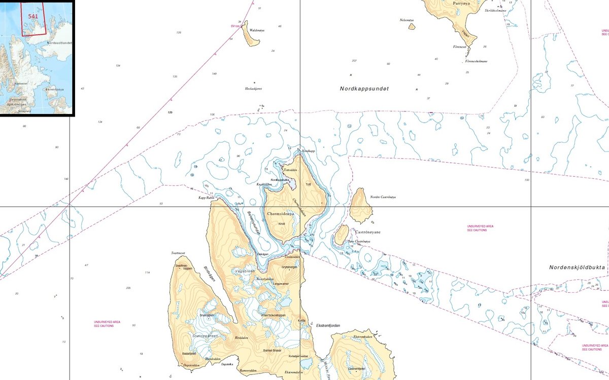
A new chart covering waters north of Nordaustlandet, has been published. This main chart is named “no. 541 Nordporten–Sjuøyane”. MAREANO and the Norwegian Mapping Authority Hydrograophic Service surveyed the fairway to Rijpfjorden in 2016.
Published: 27.06.2017Updated: 02.11.2022Author: Sissel Kanstad and Kjetil Wirak, the Norwegian Mapping Authority Hydrographic Service
This means there now is a known fairway for safe navigation into Rijpfjorden. This fairway will be used by MAREANO during planned survey expeditions in 2017 and 2018.
The chart has never existed before, and will from now on be a part of the Norwegian main chart series for Svalbard. The scale is 1:100 000 and the chart overs waters from Nordporten (north in Hinlopenstretet), Lågøya, Nordkappsundet and to Sjuøyane.