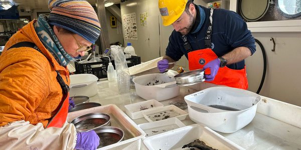
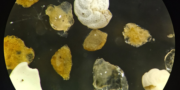
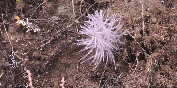
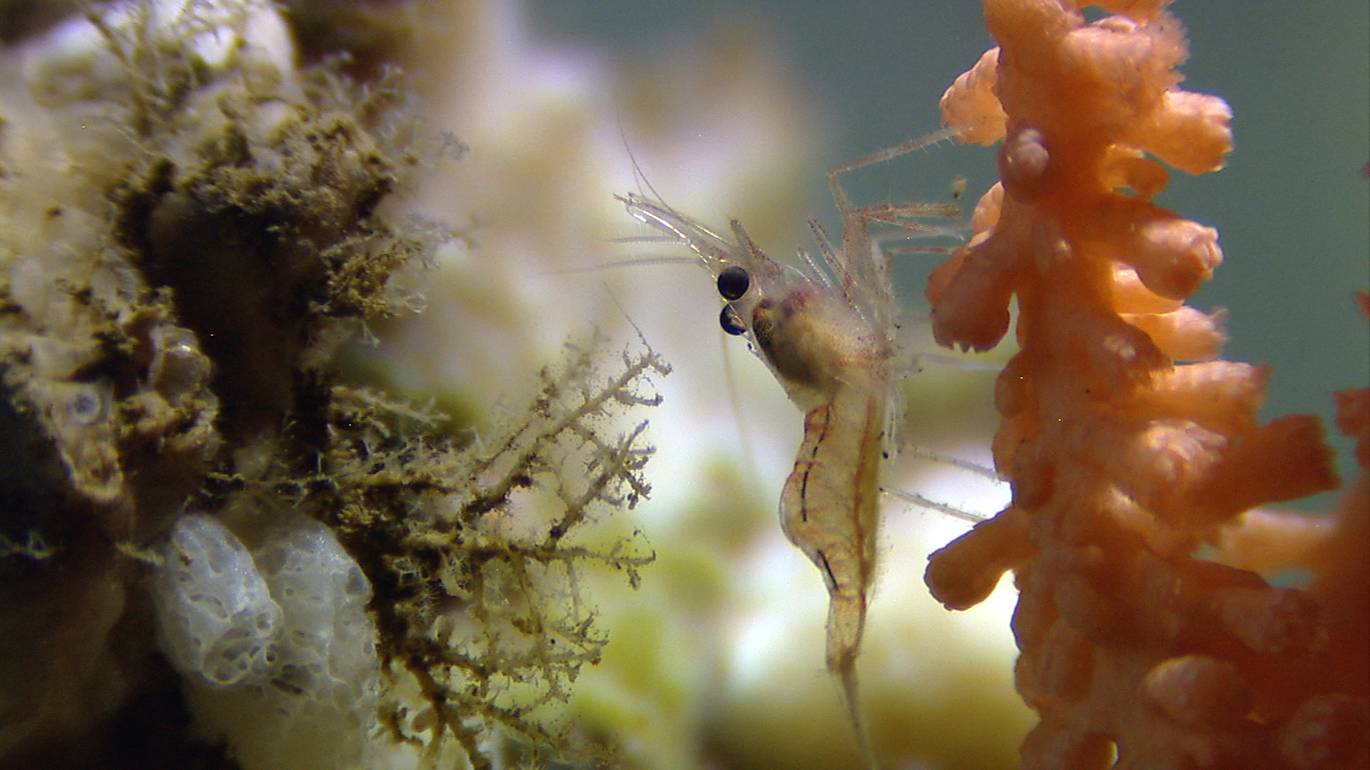
Goto main content
Reke og risengrynkorall

The Sea in Maps and Pictures

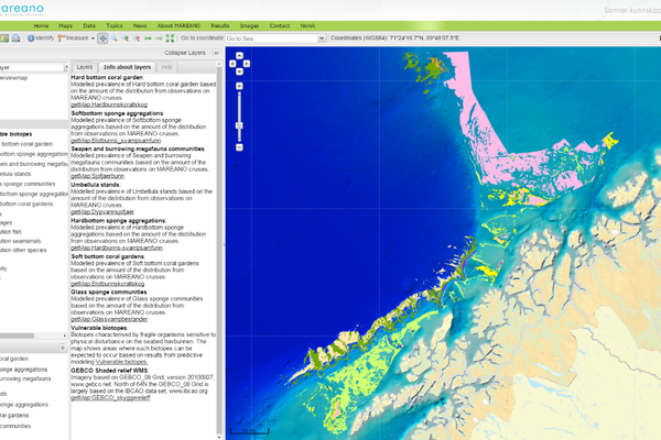
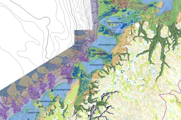
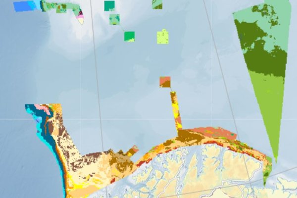
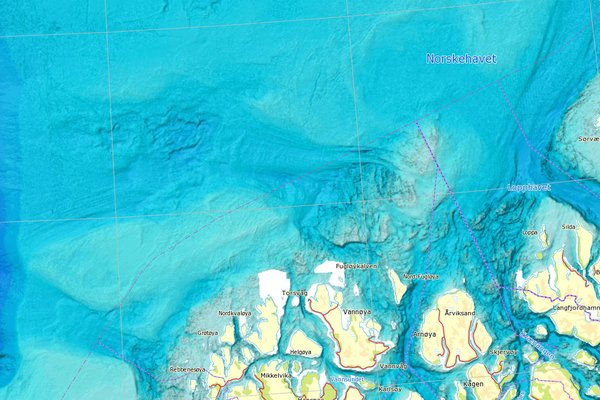
MAREANO maps depth and topography, sediment composition, contaminants, biotopes and habitats in Norwegian waters.

News

News

i videorommet web

First Station Starts Off with Sunshine, Corals and Sponges

20.04.2026

Cruise diary: MAREANO’s second cruise to the Arctic Mid-Ocean Ridge (AMOR) has started with beautiful weather conditions and smooth sailing! The seas were calm and we made it to the first station within 42 hours of steaming.

USV Blue Eclipse Foto Sissel Kanstad Kartverket

Historic USV Survey in the North Sea

04.03.2026

On 6 March, a historic survey will begin in the North Sea. The MAREANO programme will use an uncrewed surface vessel (USV) to survey 675 square kilometres of seabed.

Fig 1 Investigating new heights in the deep

Investigating new heights in the deep

17.12.2025

Cruise diary: During the second MAREANO cruise of 2025, we venture into the abyss of the deep sea along the Arctic Mid-Oceanic Ridge in the Norwegian sea, reaching depths of up to 3400 metres (Figure 1).