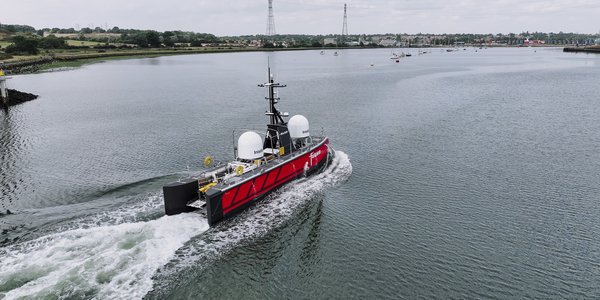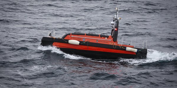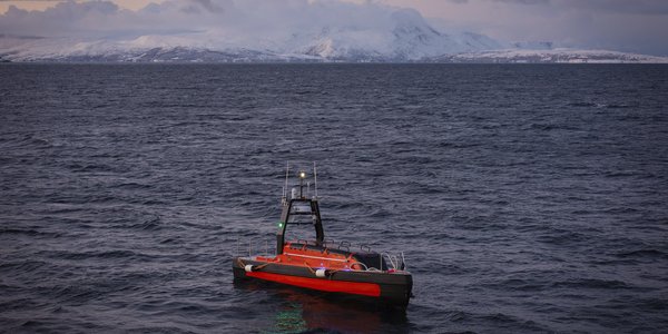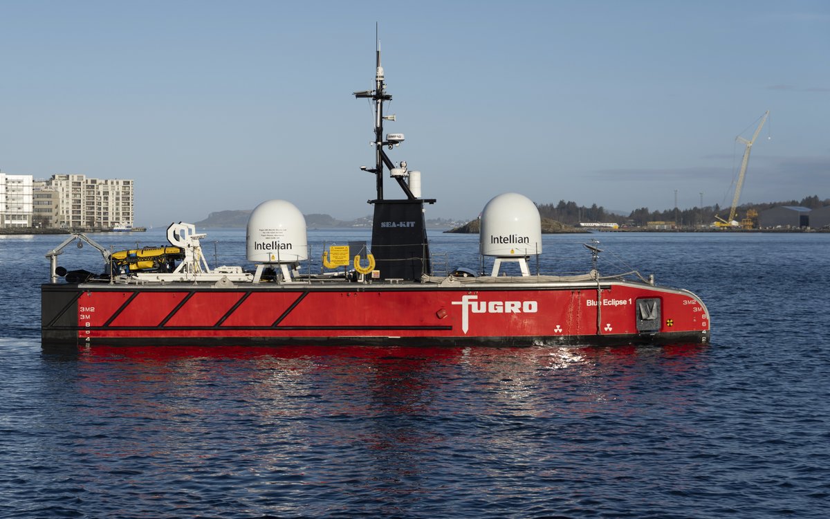
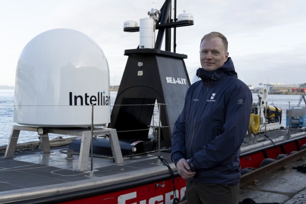
USV: The Blue Eclipse®, the largest USV in Fugro’s fleet, will survey over 675 km² region in the North Sea, with water depths ranging from 90 to 250 metres.
USV: The Blue Eclipse®, the largest USV in Fugro’s fleet, will survey over 675 km² region in the North Sea, with water depths ranging from 90 to 250 metres.
Published: 04.03.2026 Updated: 05.03.2026
“This is groundbreaking work for the Norwegian Mapping Authority and MAREANO. It is the first time we carry out a survey of this scale using USV technology,” says Chief Engineer Helge Welde at the Norwegian Mapping Authority, Hydrographic Service.
The survey will be conducted by Blue Eclipse®, the largest USV in Fugro’s fleet. The vessel is 18 metres long. Fugro was awarded the contract following an open tender competition.
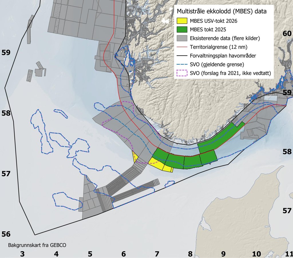
The USV will survey a total of 675 square kilometres in the North Sea for the MAREANO programme. The assignment covers areas between 90 and 250 metres deep within three selected blocks outside the territorial boundary.
These areas are classified as Particularly Valuable and Vulnerable Areas (SVO). They are marine areas in Norway with high biological diversity and productivity, requiring extra caution when human activities take place.
“Bringing our advanced Blue Eclipse® USV to the MAREANO 2025 programme is a significant step, highlighting the practical application of uncrewed vessel technology for large-scale mapping projects. This initiative allows us to deliver the high-resolution, comprehensive seabed data MAREANO requires, while reducing the environmental impact of surveys.” says Nick Simmons, Director of Fugro’s USV Services.
Blue Eclipse® is equipped with advanced high-resolution multibeam echo sounders and sub-bottom data acquisition systems. The USV will gather comprehensive datasets, including bathymetry, water column data, acoustic backscatter data, and sub-bottom profiler data to understand the seabed’s topography and geology.
The USV also carries a remotely operated vehicle (ROV), although it will not be used on this mission. Since this is the first voyage with the Blue Eclipse, there will be an escort vessel. In the long term, the USV will operate alone.
“This USV survey is an example of how the Norwegian Mapping Authority works to stimulate development in both technology and greener public procurement,” Welde says.
Using a USV as the survey platform provides valuable experience for MAREANO and the Norwegian Mapping Authority. It will help refine specifications and award criteria related to climate and environmental considerations in future public tenders.
“USVs are one way to reduce the climate and environmental footprint of seabed mapping. The experience we now gain is important and will influence future procurement processes. Even though USVs open new opportunities, we will still need traditional survey vessels, especially in challenging and remote areas such as the deep sea in the Norwegian Sea,” Welde says.