Contact
Biological mapping
Børge Holte
+47 77 60 97 53
Geological mapping
Terje Thorsnes
+47 73 90 42 75
Bathymetry
Hanne
Hodnesdal
+47 51 85 88 23
Information officer
Beate Hoddevik Sunnset
+47 55 23 85 16
Published: 23.04.2008 Updated: 24.10.2019
The MAREANO mapping in 2007 was characterised by dramatic sceneries and exciting observations from different seascapes. The spring survey covered remaining parts on the Tromsøflaket fishing bank, while the autumn was spent in the management areas of Troms II and Nordland VII. Gas vents, new coral reefs and rich biological communities were documented, and for the first time the equipment was tested in deep waters.
Here are some highlights from 2007:
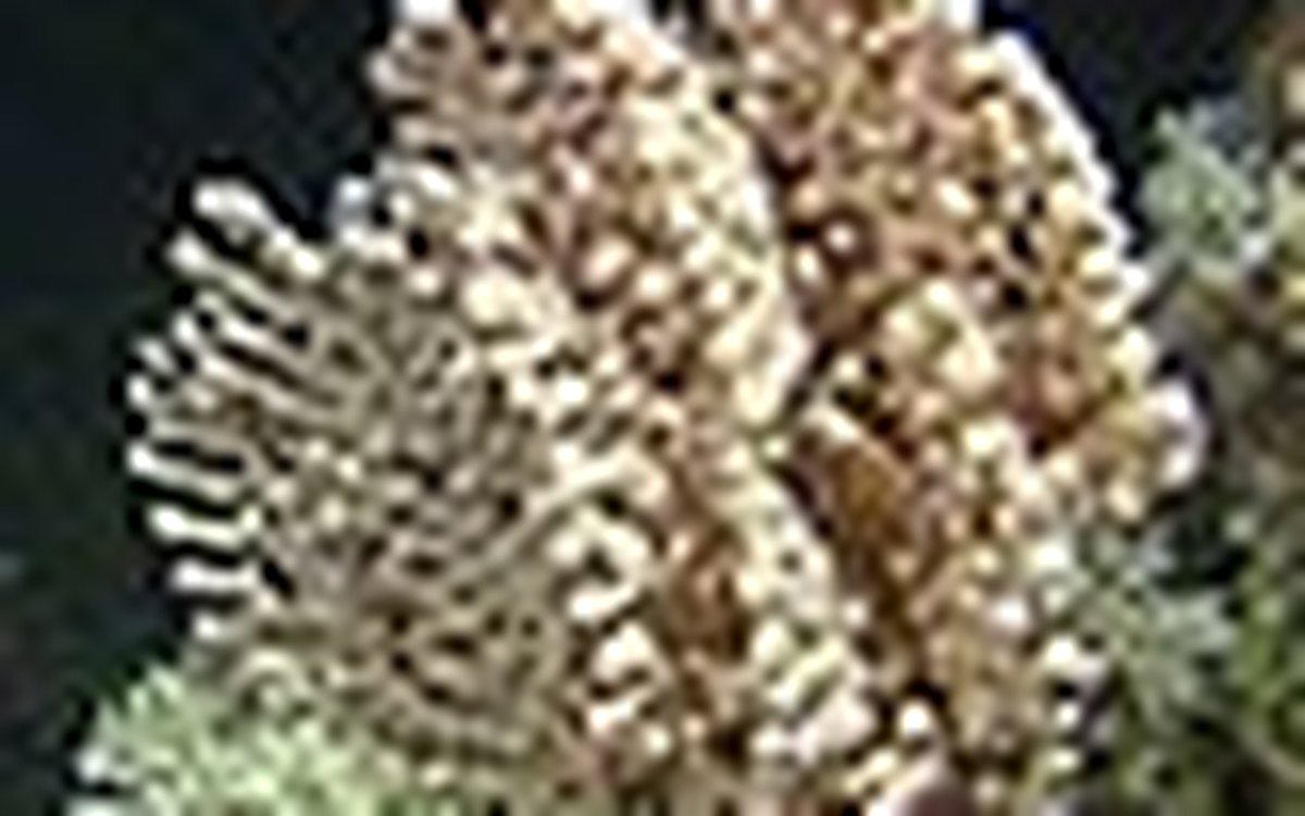
Bubble gum coral and cauliflower coral growing on Lophelia
skeleton debris.
During the first survey, in April, MAREANO mapped a well developed coral reef, known as the Malang Reef, on the ridge between the Malangsgrunnen and the Fugløybanken. The reef was 30 m tall and over one km long. While known to fishers for a long time it had not been mapped or investigated earlier. On the threshold to Stjernsund, we found dense stands of the bubble gum coral Paragorgia as well as a reef area with both red and white Lophelia. This site is know from the scientific literature since the 1940s.
The most important coral observations were made during the autumn survey, when a cluster of around 330 reefs were mapped in the Hola trench off Vesterålen and Troms. The shape of the reefs resembles that of the reefs in the Trænadypet with a living front facing the main current and a tail of dead coral debris stretching for a couple of hundred metres with the current to the north-west. The reefs are surrounded by sand and appeared like oases in the desert.
Also in the Hola trench, the autumn survey revealed gas seeping off the seafloor in the same area as the reef cluster is situated. Such observations have been made several places in the world, but are quite rare in Norwegian waters. Video recordings show calcareous precipitations and white bacteria mats resulting from biochemical processes associated with the gas seeping. Gas bubbles in the water column were identified on echograms from the same area.
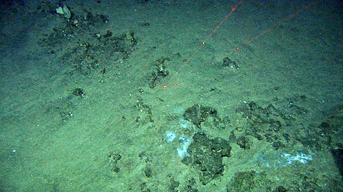
In the gas vent areas we found calcareous precipitations with
hollow structures where the gas had passed. The chemical conditions
favour bacterial growth.
Shallow gas occurrences in the sediments may originate from degrading organic material. They may also come from deeper layers such as slate, which produce oil and natural gas, or from leaking oil or gas fields. This is now being studied.
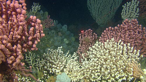
In the management area of Nordland VII there were dramatic shifts in biotopes. The banks of Malangsgrunnen and Sveinstrunnen had rich bouldery areas with a high diversity of epifauna such as sponges, tunicates and even encrusting calcareous algae, alternating with species-poor areas with large sand waves formed by the strong current.

Colourful boulders on Malangsgrunnen, and sand waves in
Hola.
In the autumn 2007, MAREANO went deeper than earlier. The Andøya Canyon (Norw: Bleiksdypet) outside Andfjorden streches from 250m on the shelf down to around 3000m in the abyss. Video observations were made down to 1100m and revealed steep slopes of hard morainic clay and mobile sandy sediments in the bottom of the canyon (the thalweg). This canyon is the largest canyon in Norway and represents an unique environment where the deep-sea occurs close to the coast.
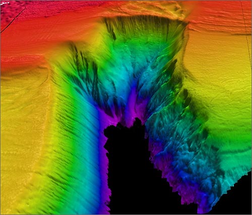
The Andøya Canyon (Bleiksdypet) is the largest submarine canyon
in Norway.
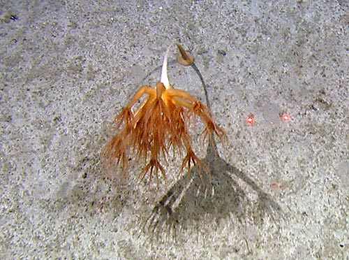
Umbellula sp. is a big seapen that occurs in deep
water. This image is from 800m depth in the Andøya Canyon.
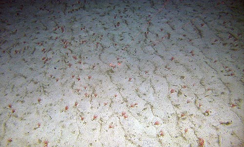
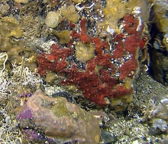
Rippled sandy seabed at 1000m depth indicating strong currents and
sand in motion. Small, red anemones occured in high
densities.