Contact
Cruise leader/biology
Lis Lindal Jørgensen
Geology
Reidulv Bøe
Communication advisor
Beate Hoddevik Sunnset
+47 55 23 85 16
+47 908 21 630
Published: 12.08.2013 Updated: 02.11.2022
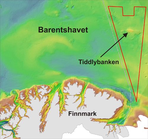
The gas leakage was known from earlier Russian investigations, in which also Norwegian geologists and biologists participated. Tiddlybanken is however so special that also MAREANO decided to visit it.
A map published by the Geological Survey of Norway 10 years ago shows that the bedrock beneath the gas leakage consists of evaporite (mainly salt but also gypsum and other minerals). Thick layers of evaporite were deposited at the bottom of the Barents Sea approximately 300 million years ago. This was caused by evaporation of sea water, resulting in deposition of minerals at the seabed. Thick layers of other sediments were deposited on top of the salt layers during later periods.
Salt is less heavy than other sediments. When thick layers of salt are buried deeply enough, the salt will start to move upwards through the overlying sediments just like the bubbles in a lava lamp. One major difference is that the process will take tens of millions of years instead of a few minutes as in the lava lamp.
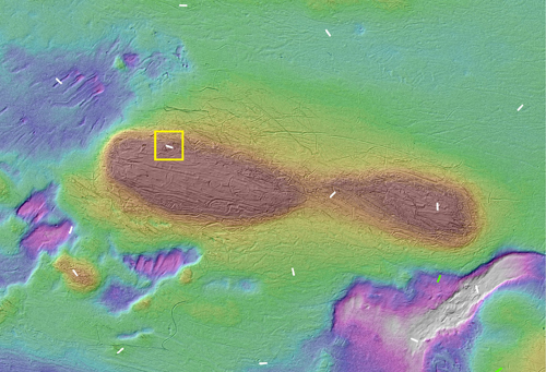
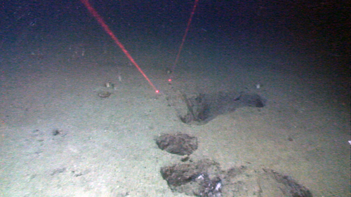
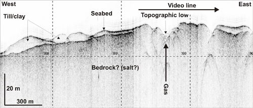
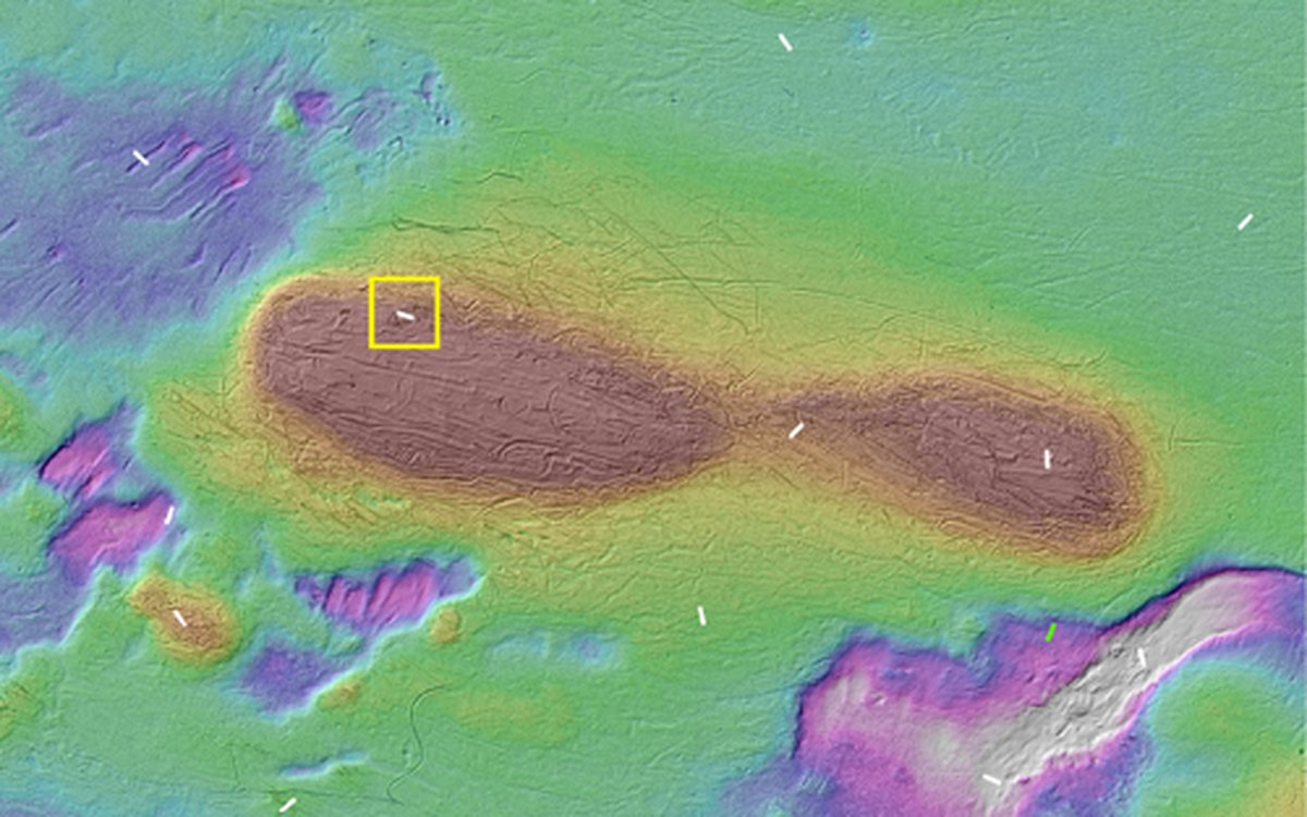
Gas leakages from the seabed are often found in areas of salt diapirs, such as on Tiddlybanken. The area has a special topography, with several hills and topographic depressions. These may have been created by glaciers during the last ice age, but can also be related to rising salt below the seabed. When passing the area, leaking gas was recorded by the echo sounder. Video records from the seabed showed large holes, which may have been created by leaking gases or fluids, or which may result from salt dissolution. Shallow seismic data collected along the video line showed a topographic depression in the interpreted bedrock surface, which may have been created by leaking gases or fluids.