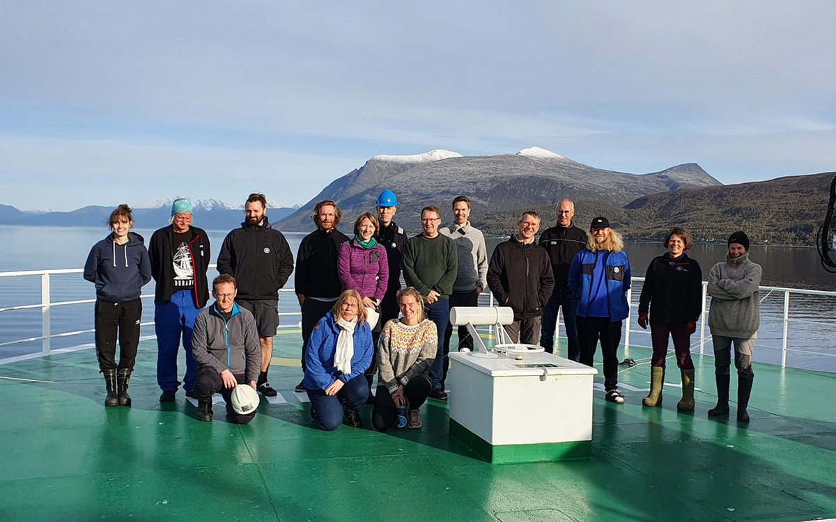
Having left Tromsø behind us, we are now finally on our way to one of the world’s most productive sea areas – Spitsbergen Bank – where we will collect data and samples from the sea floor for 18 days.
Photo: Havforskningsinstituttet / "G.O. Sars"
Having left Tromsø behind us, we are now finally on our way to one of the world’s most productive sea areas – Spitsbergen Bank – where we will collect data and samples from the sea floor for 18 days.
Photo: Havforskningsinstituttet / "G.O. Sars"Published: 20.09.2021 Updated: 11.11.2021
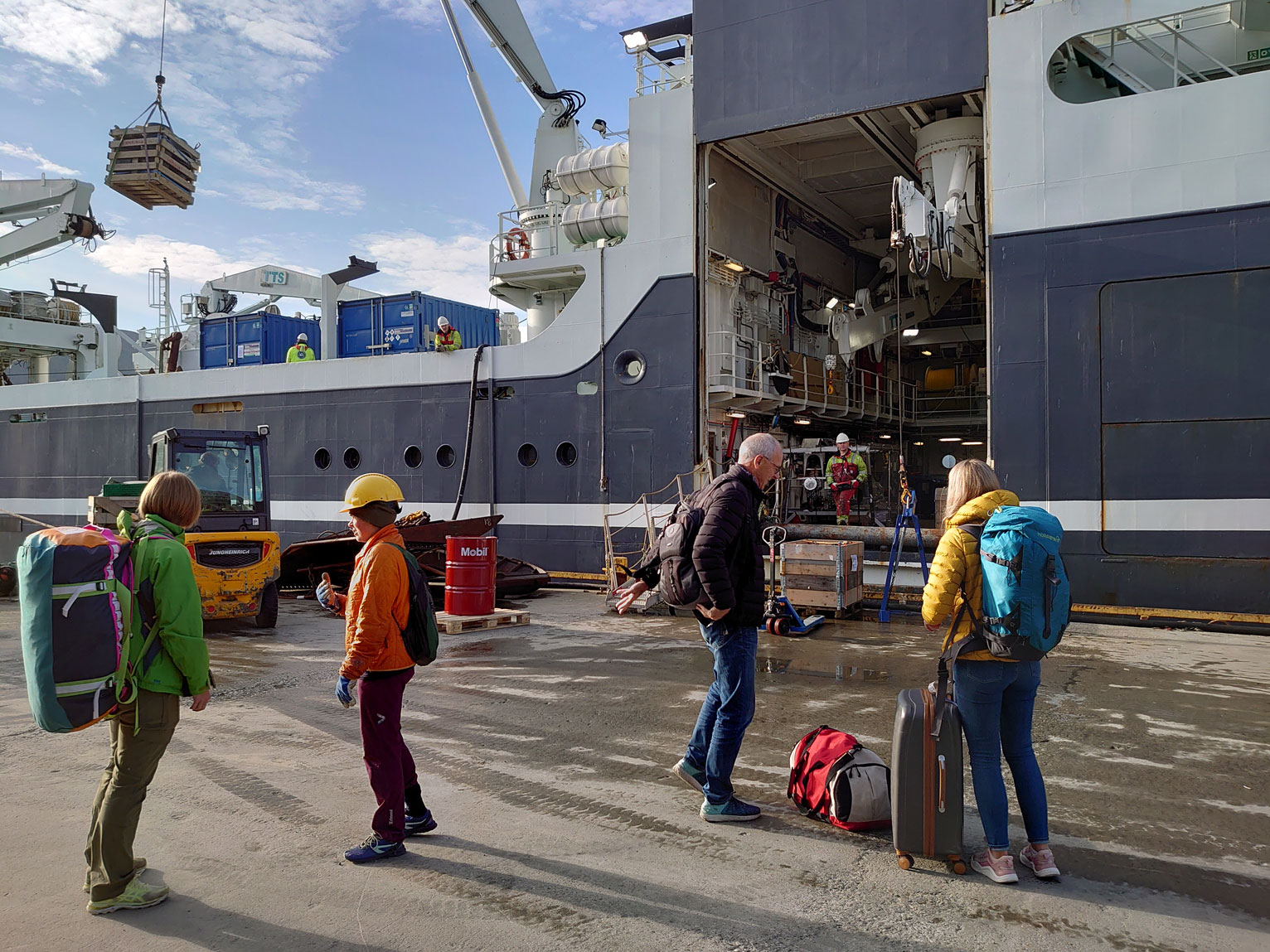
The ship has been a hive of activity for the past day. Around forty pallets of equipment and instruments were hoisted onboard during the morning hours, and over the course of the day they will be unpacked and prepared for use once we reach the survey area.
Due to poor weather at Spitsbergen Bank, which is shallow with strong currents, we changed our plans and sailed to Kirkegården, where we arrived late on Friday evening. Here the weather conditions are better than further west, and we can work efficiently without worrying about bashing expensive equipment against the sea bottom or the side of the ship.
Together with other parts of the Barents Sea, Spitsbergen Bank is one of the world’s most productive sea areas. When the ice retreats in spring, letting the sunlight in, plankton blooms “explode” at the ice edge, providing animals such as fish, whales and seabirds with a large amount of food. The short distance from the sea surface to the bottom also ensures that benthic fauna receive plenty of food in the shape of dead plankton that sinks. Now, in the context of climate change, the time has come to improve our understanding of the highly productive deep oceans and continental shelves in the far north, to inform the future management of the resources in the Barents Sea.
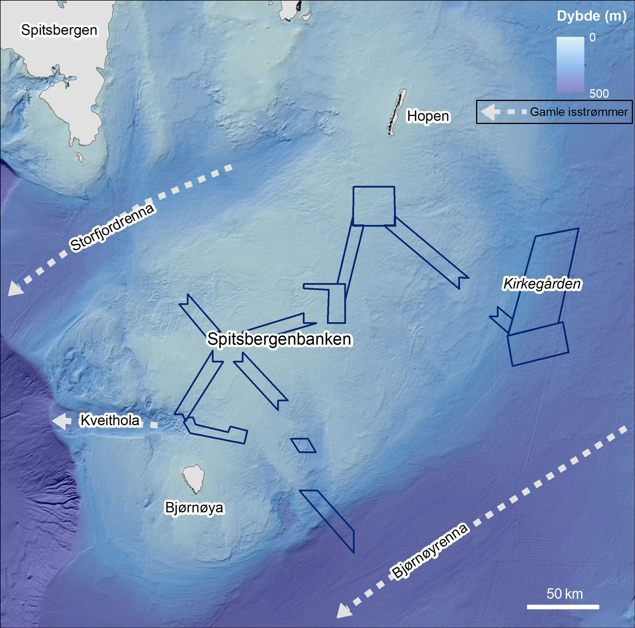
These shallow banks now help to provide enormous natural resources, but how were they formed? The answer lies over 20,000 years back in time, when ice covered much of the northern part of our planet. As ice masses grew in some areas, they pressed against other ice masses, setting in motion ice streams, which are like rivers of ice. Over a long period of time, these streams carried away large quantities of sediments, forming valleys in the sea floor. However, they left behind many shallow banks. One of these is Spitsbergen Bank, one of the larger banks in the Barents Sea. Spitsbergen Bank is bounded by the Bear Island trough to the south-east and the Storfjord trough to the north-west. In both of these troughs, or underwater valleys, large ice streams flowed out towards the edge of the continental shelf in the west, where the sediments were pushed over the edge of the shelf before sinking down into the deep ocean.
Both our geologists and biologists, as well as many other people on board, are looking forward to seeing what lies hidden on the sea floor at Kirkegården. So far we have not heard any good explanation for the name, but we hope that the 42 video transects we are planning in the area will uncover its secrets.