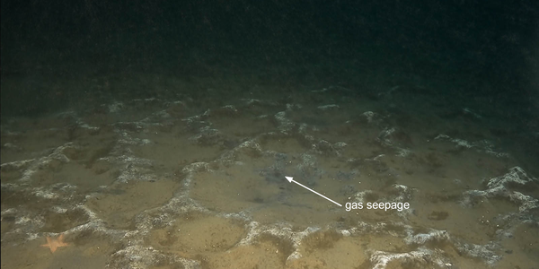
Spectacular bacterial formations exposed in the North Sea
27.06.2025
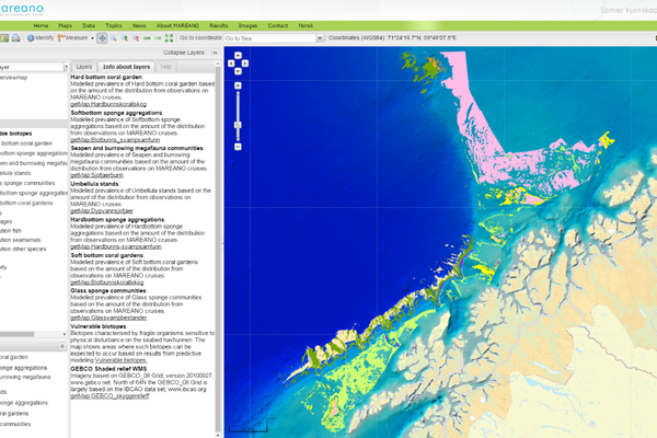
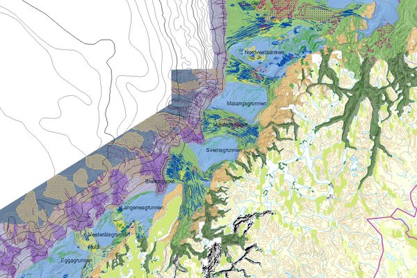
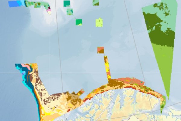
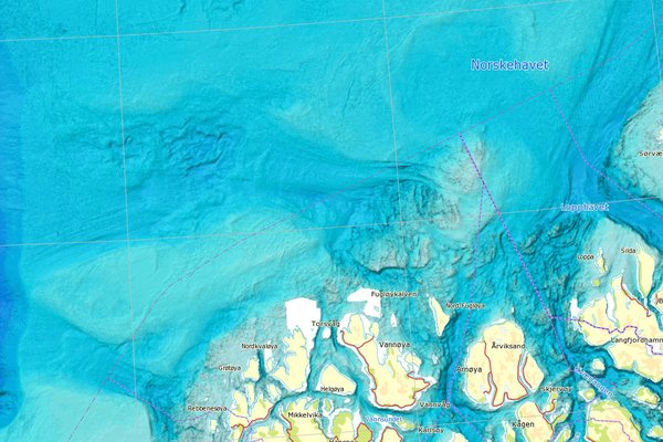
MAREANO maps depth and topography, sediment composition, contaminants, biotopes and habitats in Norwegian waters.