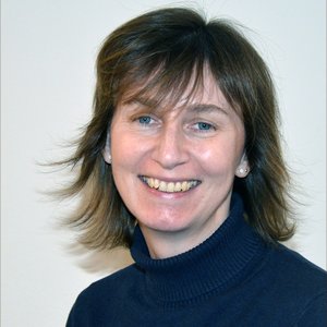
RV «Kronprins Haakon» has entered the ice and is still going strong. Photo: Margaret Dolan
RV «Kronprins Haakon» has entered the ice and is still going strong. Photo: Margaret Dolan
Published: 06.05.2024
Missing pieces are the bugbear of all jigsaw puzzle enthusiasts. MAREANO can certainly empathise. Our previous mapping campaigns at Kvitøyrenna, northeast Svalbard have faced challenging ice and sea conditions and so far, only provided sufficient data to fully map parts of the area.
Large gaps remain, but a full picture of the biological, geological and ecological diversity of the seabed and its environmental status is eagerly awaited by the Norwegian government and management authorities. The seabed, unlike our analogous jigsaw puzzle, does not come with the answer on the top of the box!
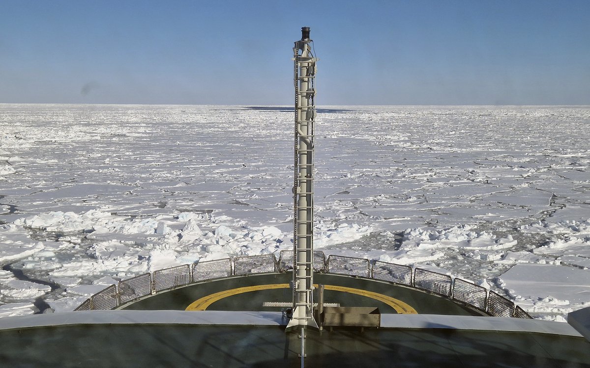
Following a first cruise in the North Sea in March, this April MAREANO set sail north, a long way north, in the Barents Sea. At this time of year this is not a job for just any ship, as there is still plenty of seasonal sea ice around. The icebreaking polar research vessel «Kronprins Haakon», however, is well equipped for the job. As we sailed northwards it took the southernmost remnants of the ice in its stride and then followed a steady, albeit rather less straight than normal, path further north through more persistent ice.
It’s an odd feeling for those cruise participants who have not worked in icy waters before, but before long all are accustomed to being surrounded by white, not blue, and keeping an eye out between watches for polar bears, rather than whales and dolphins. And being lulled to sleep by the sound of breaking ice – this takes a bit of getting used to!
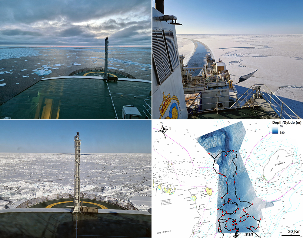
For the first part of the cruise we return to Kvitøyrenna, where, following multibeam surveys - bathymetry, backscatter, water column data - in 2018, we started biological, geological and chemical sampling of the seabed in October 2019. After being beaten by the ice in large parts of the mapping area, working without an icebreaking vessel, we returned in 2022 and made good progress, but still lack crucial pieces of the puzzle before our results can provide the information needed for sustainable management in this area.
As Gunnstein Bakke of the Norwegian Fisheries Directorate and member of MAREANO’s programme group says:
«Climate change is altering the distribution of commercial fish species in the Barents Sea, and fisheries authorities expect that fishing patterns will also change. Kvitøyrenna is an area that has not previously been fished, making it crucial to have good knowledge when managing this area in the future. The findings so far indicate that there is a lot of untouched and valuable nature here that needs to be preserved».
In the areas of Kvitøyrenna we have visited previously, geological maps are already available. General biotope maps have also been predicted for the 2019 survey areas – these maps combine biology, geology, terrain and oceanographic data to predict where different communities of seabed dwelling animals and their preferred environment are likely to occur.
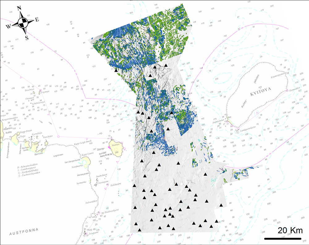
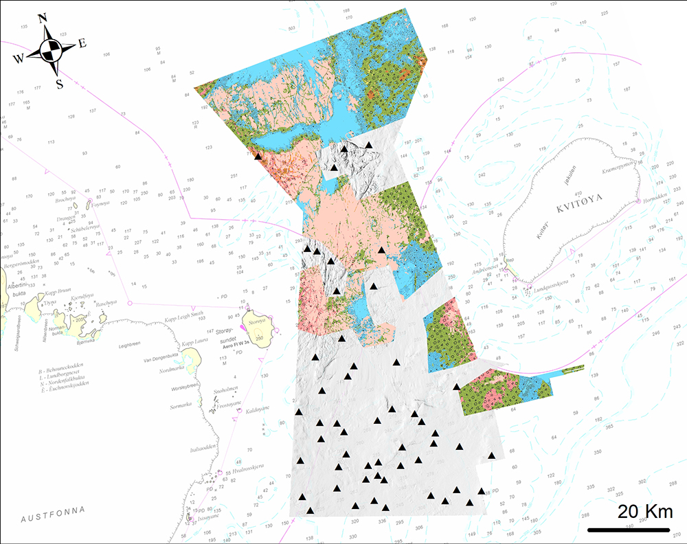
The geological maps published to date have large gaps where we lack supporting observations to help interpret the multibeam data. Similarly, the current version of the general biotope map is very uncertain in this area as the few observations from Kvitøyrenna 2019 were not yet included and the predictions only cover a fraction of the total Kvitøyrenna mapping area.
The results from this cruise; video, geological, biological and chemical sampling, when pooled with the earlier data will provide the information needed to update these and other MAREANO maps.
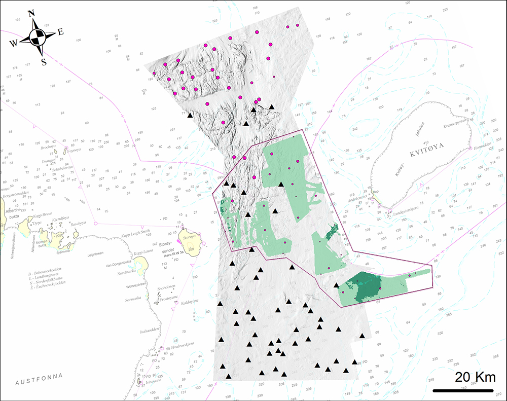
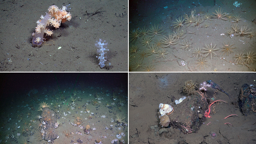
Although the predicted general biotopes in Kvitøyrenna are uncertain, on-board observations from the cruise so far suggest that the presence of some of these biotopes may be confirmed, or only slightly modified in an updated map. We have certainly seen several sites rich in soft corals (Nephtheidae) not too dissimilar to the predicted biotopes nearby.
Importantly, the new results will further document additional general biotopes and highlight any vulnerable habitats occurring in the area via MAREANO's vulnerable marine ecosystem (VME) observations and predicted vulnerable biotopes maps.
Next, we sail southwards to Spitsbergenbanken where more pieces of another puzzle await.