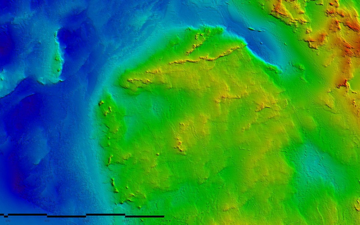
Terrain model of the seabed in the area Sørlig Nordsjø 2. The grid is 2 meters. Map services and datasets are available at Geonorge.no
Photo: Kartverket/Mareano
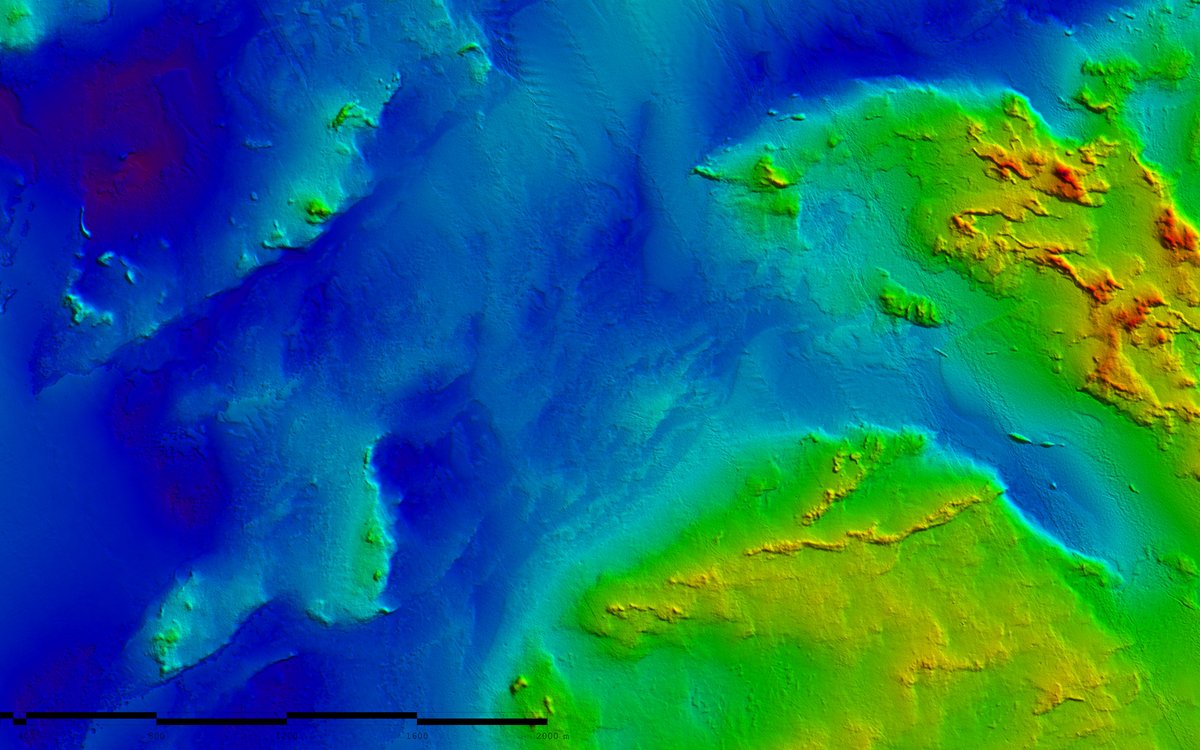
Terrain model of the seabed in the area Sørlig Nordsjø 2. The grid is 2 meters. Map services and datasets are available at Geonorge.no.
Photo: Kartverket/Mareano
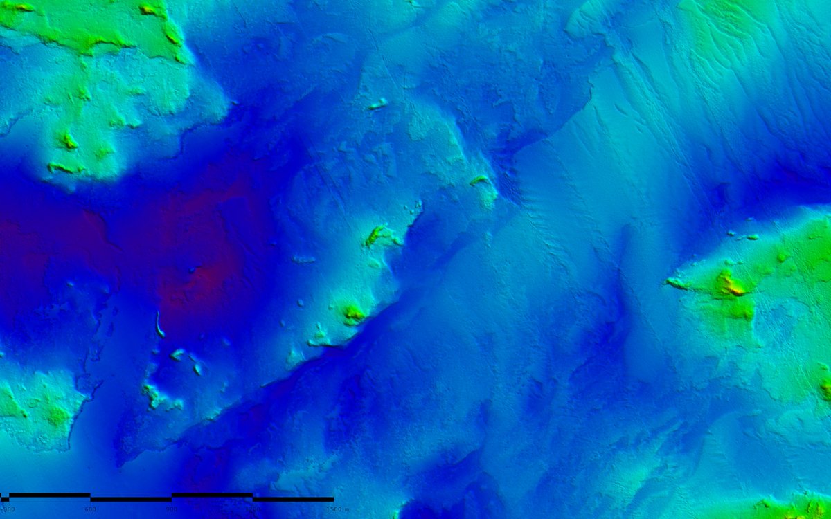
Terrain model of the seabed in the area Sørlig Nordsjø 2. The grid is 2 meters. Map services and datasets are available at Geonorge.no
Photo: Kartverket/Mareano
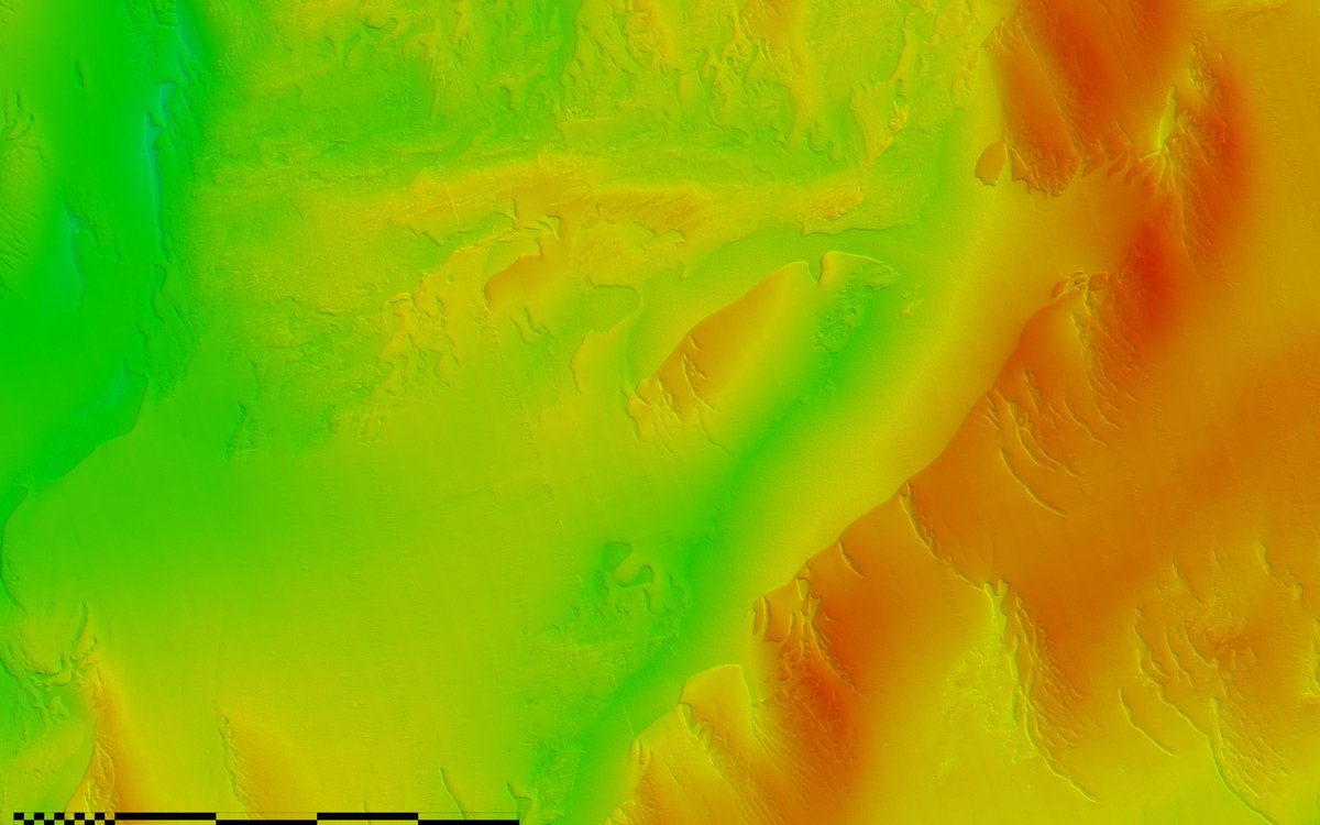
Terrain model of the seabed in the area Sørlig Nordsjø 2. The grid is 2 meters. Map services and datasets are available at Geonorge.no
Photo: Kartverket/Mareano
1/4
Bathymetry data from Sørlig Nordsjø 2
Terrain models from the offshore wind area Sørlig Nordsjø 2, both map services and datasets, are published in the Norwegian Mapping Authority's services.
Published: 16.01.2024Updated: 18.01.2024Author: Hanne Hodnesdal, the Norwegian Mapping Authority
In 2022 and 2023, the Norwegian Offshore Directorate collected several data sets in the opened offshore wind area Sørlig Nordsjø 2. The MAREANO programme will use these bathymetric datasets in our further mapping of mapping of biodiversity on the seabed.
Map services and datasets
MAREANO has been given access to bathymetry data of the seabed (bathymetry) from phase one in Sørlig Nordsjø 2, surveyed by the Norwegian Offshore Directorate. The Norwegian Mapping Authority har produced terrain models and included these in the datasets and map services for the Norwegian sea areas.
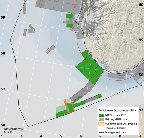
THE NORTH SEA: The green box with orange lining marks the area where terrain models and bathymetric data are published. These are data from phase one of the survey of Sørlig Nordsjø 2. Source: Norwegian Mapping Authority / MAREANO
Map services:
Map service (WMS) that shows shadow relief and coloured depth: Sea shadow relief WMS (geonorge.no)
The datasets are also available for download at Geonorge.no with a resolution of 5, 25 and 50 meters. These datasets are the basis for the map services mentioned above.
The terrain models are also available in a 2-meters grid. Access to these models must be ordered from the Norwegian Mapping Authority via sjodata@kartverket.no.
The area Sørlig Nordsjø 2 is outside the territorial boarder and data are ungraded.
Coverage map
Map services that show the coverage of bathymetric mapped areas in the Norwegian coastal and sea areas:
More data from the offshore wind areas in Sørlig Nordsjø 2 and Utsira Nord, surveyed by the Norwegian Offshore Directorate, will be published when the Norwegian Mapping Authority gets access.
MAREANO will build on the bathymetric data sets to map the sediment composition, biodiversity, habitats and biotopes and pollution in the seabed. These surveys will be conducted by the Norwegian Institute of Marine Research and the Geological Survey of Norway in 2024.