Published: 03.01.2020
Mapping areas and mapping back to 2005.
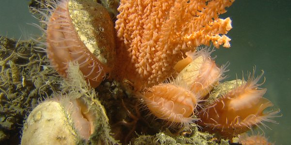
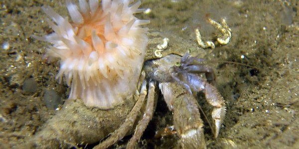
MAREANO provides a unique picture of biodiversity through its use of various types of sampling equipment that provide good documentation of all types of seabed.