Mareano

About MAREANO

MAREANO maps depth and topography, sediment composition, biodiversity, habitats and biotopes as well as pollution in the seabed in Norwegian coastal and offshore regions. 
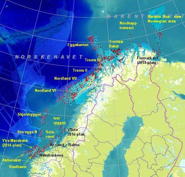
The Programme aims to provide answers to questions such as:

  • How is the seascape of the Norwegian continental shelf?
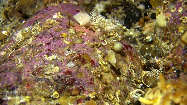
  • What does the seabed consist of?
  • How is the biodiversity distributed on the seabed?
  • How are habitats and biotopes distributed on the seabed?
  • What is the relationship between the physical environment, biodiversity and biological resources?
  • How are contaminants stored in sediments?

The Institute of Marine Research, the Geological Survey of Norway and the Norwegian Hydrographic Service comprise the Executive Working Group which is responsible for carrying out the MAREANO field sampling and other practical tasks. The Programme Group, being led by the Directorate of Fisheries, has the superior responsibility for all planning of the MAREANO activities.

The Programme is financed by the Ministry of Fisheries and Coastal Affairs, the Ministry of Environment and the Ministry of Trade and Industry via contributions from the National Budget.

  • Financial contribution in 2006: MNOK 23.6
  • Financial contribution in 2007: MNOK 32.6
  • Financial contribution in 2008: MNOK 32.6
  • Financial contribution in 2009: MNOK 51.5
  • Financial contribution in 2010: MNOK 51.5
  • Financial contribution in 2011: MNOK 92,4

First phase: 2006–2010

The Management plan for the Barent Sea and areas off Lofoten was revised in 2011, and MAREANO contributed significantly to update with marine benthic knowledge, which may be used by Norwegian authorities to judge whether future petroleum-related activities is to be allowed at the Nordland VII field, at Troms II and at the Eggakanten area (see map). These areas were therefore given priority in the first phase of the MAREANO baseline mapping.

MAREANO 2005-2010

Second phase: 2011-2015

Continued mapping in the Barents Sea inclusive of the new Norwegian areas. Mapping of the Nordland VI-area is to be finished in 2011, while areas in the Norwegian sea as well is planned the coming years.

Main products

For the revision of the Management Plan MAREANO will deliver:

  • information about seabed characteristics and biotopes
  • information about the distribution of benthic fauna, communities, biological diversity and production
  • information about contaminants in the sediments
  • detailed bathymetric maps
  • online database and map services collecting information on Norwegian coastal and ocean regions